San Diego’s coastal waters have shattered temperature records, adding to the risk of storms, flooding and environmental damage expected this winter as the ‘Super’ El Niño strengthens.
Offshore temperatures climbed to over 75 degrees Fahrenheit on Nov. 10 — the warmest on record for that day, according to Dr. Jennifer Smith, a marine ecologist at the Scripps Institution of Oceanography.
“We’re now sitting on the precipice of yet another ‘Godzilla’ El Niño, where temperatures are supposed to be and are already higher than we’ve ever measured in the past,” Smith said during a Wednesday press briefing hosted jointly by Scripps and National Oceanic and Atmospheric Administration Fisheries scientists.
Waters off La Jolla have set new temperature records nearly every day since the end of September, according to the Scripps Pier sea surface monitoring station.

A marine heatwave off San Diego’s shore began in late 2025, with record-high temperatures recorded well before this year’s El Niño was declared in June. The natural climate pattern has since added more heat to already warm waters, the panel of scientists said.
The result is a combination of exceptionally warm ocean temperatures and elevated sea levels that could amplify the effects of winter storms hitting Southern California. Mark Merrifield, a Scripps physical oceanographer, said the region is facing a “triple threat” from El Niño: higher waves, more rain and rising sea levels.
San Diego’s sea level is currently about 1.5 feet above normal, Merrifield said. A typical El Niño might raise water levels by six inches to one foot.
The elevated sea level contributed to flooding in Mission Bay and other coastal areas during an Oct. 27 storm, during which San Diego Bay saw the water rise more than one foot above NOAA’s predictions. Merrifield said the current unusual weather is expected to last through November and December.
This raises concerns about what could happen when heavy rain arrives while coastal water levels and temperatures remain unusually high.
“We saw a little bit of that during the October flood event, when places like Harbor Drive were experiencing flooding,” Merrifield said during the briefing. “That’s just the water coming up through the storm drains. When the water is that high, if you do have rain on land, there’s really no place for the water to go.”
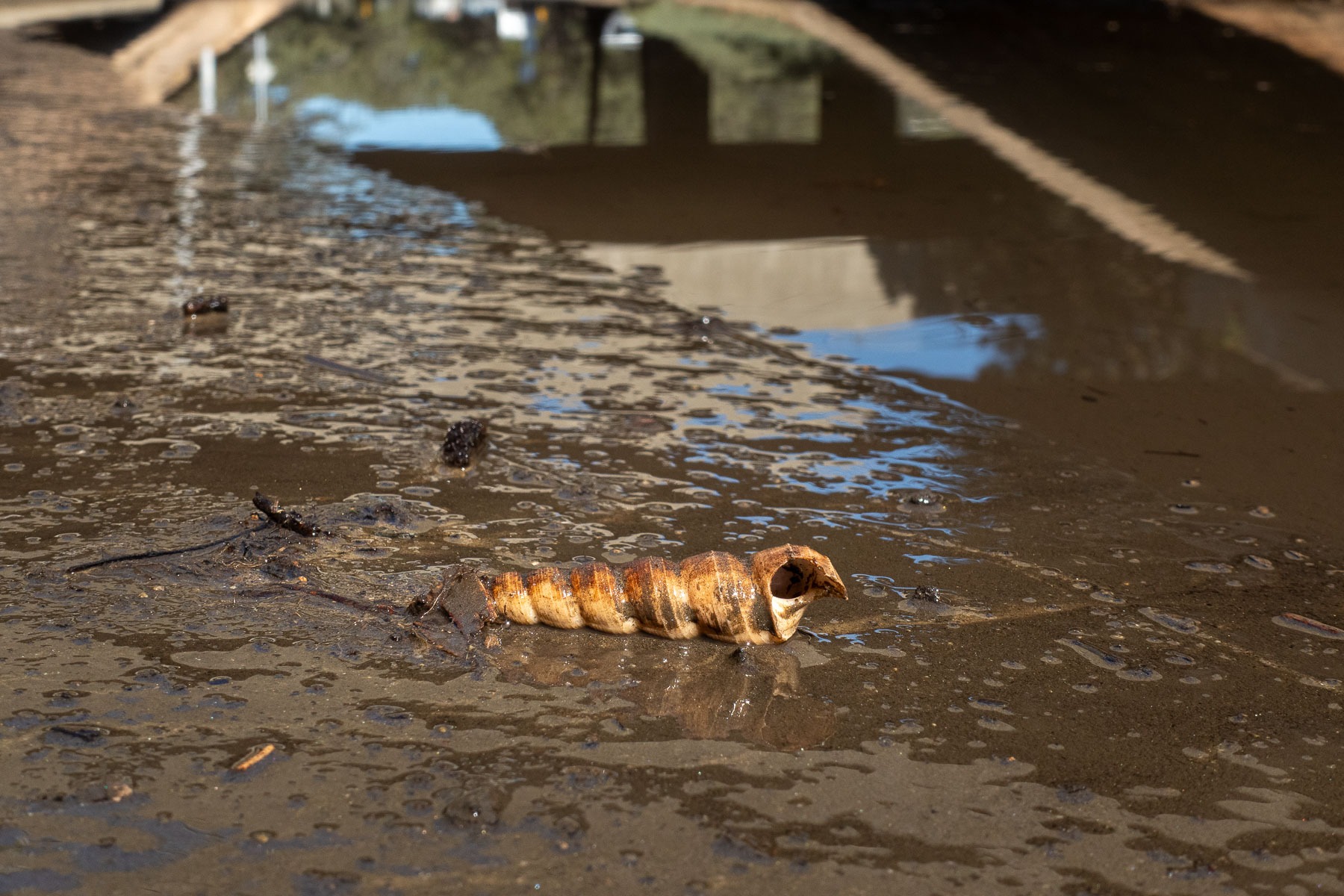
Merrifield said storm drains may need to be shut off to prevent ocean water from backing up through them. “It’s the inability to drain that’s really going to be an issue in a lot of areas when you get these compound flooding events.”
Atmospheric rivers
El Niño tilts the odds towards wetter weather in Southern California, but it alone does not determine how much rain San Diego will actually receive this winter.
Rainfall depends heavily on atmospheric rivers — thousand-mile-long corridors of concentrated water vapor in the atmosphere that can drop large amounts of rainfall when they reach the California coast.
“El Niño sets the stage on the big picture,” said Marty Ralph, a Scripps research meteorologist and director of the Center for Western Weather and Water Extremes. “But it’s really atmospheric rivers that are at the business end of El Niño impacts when it comes to rainfall and snow.”
A strong, long-lasting atmospheric river can produce about 10 inches of rain in two days, Ralph said. If the storm continues for another day, some of the wettest areas could receive as much as 15 inches.
The unusually warm water offshore could amplify the rainfall from storms.
As an atmospheric river passes over warm coastal waters, the ocean transfers additional heat and moisture into the system, potentially increasing the amount of precipitation when storms make landfall.
The timing and number of storms also matters. Multiple atmospheric rivers arriving in quick succession leave little time for soil, rivers and drainage systems to recover between rainfall events.
Scientists are using reconnaissance airplanes to improve forecast predictions. These flights can travel hundreds or thousands of miles offshore to measure temperature, pressure, wind and moisture within storms before they reach the West Coast.
These observations are fed into weather models, giving forecasters more information about storms while they are still far offshore.
The program completed 52 reconnaissance flights last winter and is expected to continue this winter, with some flights potentially traveling farther west toward Japan to improve predictions, Ralph said.
Ocean heat extends below the waves
The unusual conditions also extend deep beneath the ocean surface.
Unusually warm temperatures have been measured in waters over 160 feet down, which reached about 77 degrees in a southern inshore survey area — far warmer than previous observations, said Andrew Thompson, a California Cooperative Oceanic Fisheries Investigations fish biologist.
The latest observations are already showing signs of how dramatically the unusual conditions are affecting marine life, Thompson said.
Researchers found preliminary evidence of near-record abundance of southern mesopelagic fish — species that typically live farther south and deeper in the ocean. Local fishermen and divers have also reported seeing tropical and other southern species off Southern California.
The scientists cautioned that this data is still being processed and that the greater number of some southern species could be accompanied by lower overall species diversity.
Kelp forests lost a decade of recovery
The clearest ecological casualty may be one of San Diego’s most recognizable marine ecosystems: its kelp forests, which provide shelter, a place to raise young, and hunting grounds for over 800 species, according to San Diego Coastkeeper.
Smith, a Scripps marine ecologist, said San Diego’s kelp species generally begin experiencing significant thermal stress around 23 degrees Celsius, or 73.4 degrees Fahrenheit. The Scripps Pier reached about 75 degrees on Nov. 10.
San Diego sits near the warm edge of the global range for giant kelp, which thrives in colder waters, making offshore forests particularly vulnerable to prolonged periods of extreme heat.
The last major El Niño and marine heat wave, from 2014 to 2016, caused widespread losses of canopy-forming kelp in San Diego. It took more than a decade for these ecosystems to make a significant recovery.
Only in 2025 did researchers begin seeing meaningful canopy recovery in areas including Point Loma, La Jolla and North County, Smith said.
Much of that recovery has now disappeared.
In La Jolla, little giant kelp remains, with large amounts washing onto beaches, Smith said. Some patches remain in Point Loma, where researchers are studying whether certain populations may have greater tolerance to heat.

Researchers are now collecting data from divers in the water and gathering reproductive material from surviving kelp.
Scripps is also working with the San Diego Zoo Wildlife Alliance to preserve kelp through biobanking and cryopreservation, allowing scientists to maintain genetic material until ocean conditions return to normal levels and restoration efforts can begin.
The goal in 2027 is to move beyond simply waiting for the forests to recover and instead determine how they can be actively restored, Smith said.
The unusual offshore heat may eventually subside. Scientists expect El Niño-driven warmth to ease by late spring or early summer. But other marine heat waves unrelated to El Niño have occurred more often in recent years, leaving uncertainty about whether ocean temperatures will fully return to normal in 2027.
For San Diego, the immediate concern is what happens this winter — when unusually warm water, elevated seas and the next atmospheric river strike at the same time.