

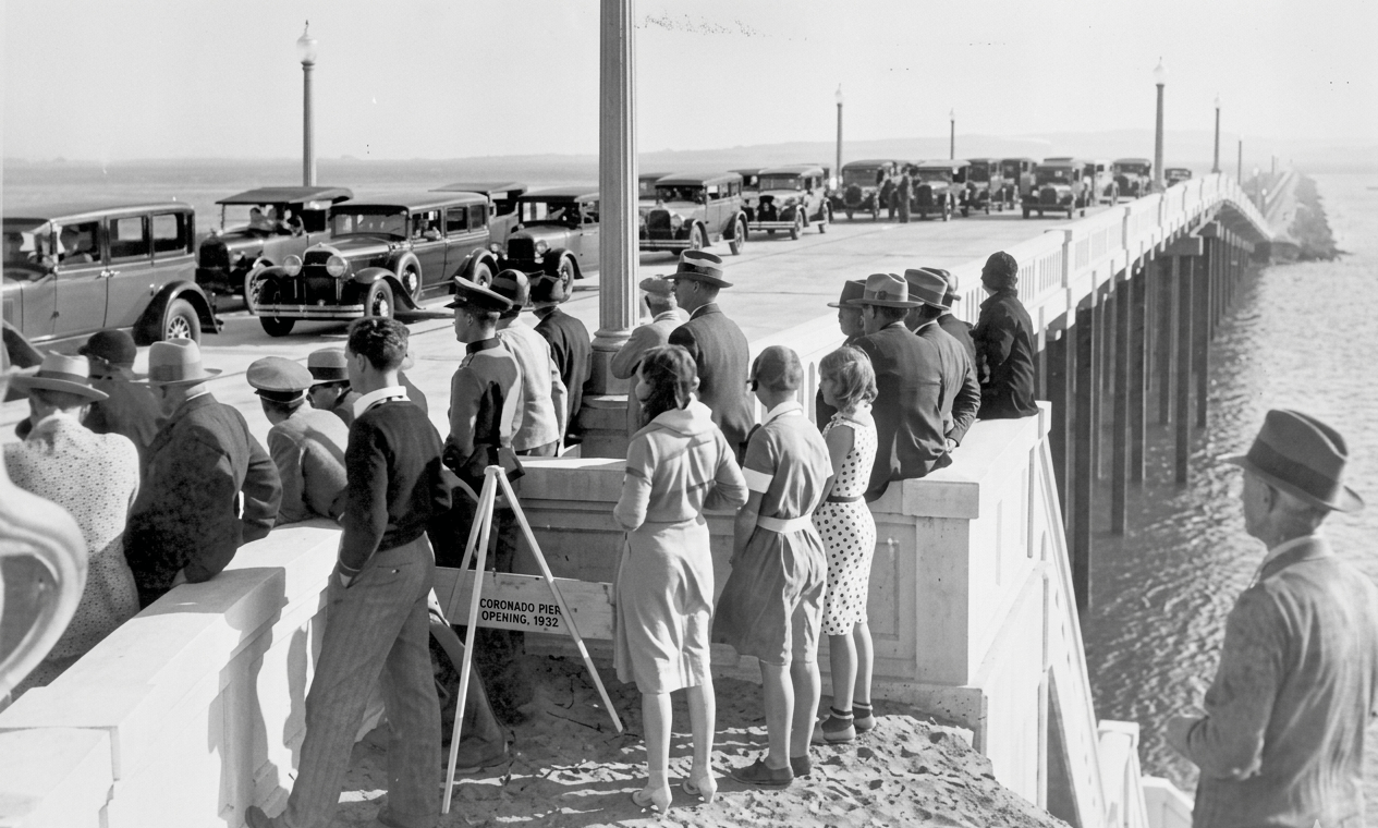
Mission Bay didn’t start as a destination. It started as water that refused to sit still.
Just inland from the oceanfront homes and boardwalk of Mission Beach, the waters of the bay stretch across what was once a wide, shifting tidal wetland. Before it became a center of recreation, the bay was part of a dynamic coastal system of marshes, mudflats and seasonal channels—land that helped shape the surrounding beach communities as they developed.
Early waters and wetlands
For centuries, the San Diego River spread across a wide tidal basin here, carving through a shifting wetland of mudflats, marsh channels, and seasonal flood zones. Long before development, this was part of a larger coastal ecosystem used by the Kumeyaay, whose presence in the region predates Spanish settlement by thousands of years.

By the mid-20th century, that landscape was already being redesigned.
Beginning in the 1940s, the city of San Diego undertook one of its most ambitious reshaping projects: converting Mission Bay into a controlled aquatic park. Over the next two decades, dredging and fill operations transformed more than 4,000 acres of wetlands into a structured lagoon system designed for recreation, boating, and tourism. The natural estuary was re-engineered rather than preserved.

Postwar development and tourism growth
Once the water was contained, development followed quickly.
In the postwar boom, San Diego leaned into tourism as a defining part of its economy and identity. Mission Bay became central to that strategy. Hotels, marinas and recreational facilities began lining its shoreline, forming a coastal district built around leisure rather than habitat or industry.

Building a resort economy
By the early 1950s, the Bahia Resort Hotel opened as part of the first wave of waterfront hospitality development, followed soon after by properties like the Catamaran Resort Hotel at the end of the decade. These early resorts helped define Mission Bay as a planned environment centered on access to water, automobiles and a year-round climate.
Through the 1960s and 1970s, Mission Bay solidified into one of San Diego’s primary tourism engines, marketed for boating, family vacations, conventions and waterfront recreation.

Engineered landscape
Beneath that transformation, however, was a bigger change. The creation of Mission Bay required the removal of natural wetland systems and the complete redesign of coastal ecology. What appears today as a seamless recreational landscape is the result of large-scale engineering, civic planning and environmental change carried out over decades.
That engineered identity still defines the bay, even as it enters a new phase.

A constructed coastline
Mission Bay was transformed in the mid-20th century from a tidal wetland system into a controlled aquatic park, forming the foundation for San Diego’s postwar resort and tourism economy.
Today, the bay remains one of San Diego’s most important tourism and recreation corridors, but it is also part of ongoing conversations around redevelopment, climate resilience and habitat restoration. The shoreline continues to evolve — just as it always has — though now under human design rather than natural movement.
Mission Bay is not a static place. It is a constructed landscape that has been rewritten more than once, each version layered over what came before.

“Mission Bay was transformed in the mid-20th century from a tidal wetland system into a controlled aquatic park, forming the foundation for San Diego’s postwar resort and tourism economy.”
Historical records
Read more history stories here; send an email to debbiesklar@cox.net
Sources:
San Diego Bay / Mission Bay development history.
San Diego History Center.
California coastal development & tourism expansion.
California Digital Newspaper Collection (CDNC).
Mission Bay planning / park creation records.
City of San Diego historical planning documents (Mission Bay Park development).


