

San Diego’s reputation for nearly-perfect weather has helped define the region for more than a century. Yet even in early descriptions of that climate, there was a familiar seasonal exception — a recurring stretch of springtime coastal cloud cover that continues today.
The condition now known as “May Gray” was not always called that. Early newspaper accounts from the late 1800s and early 1900s, including coverage in The San Diego Union, regularly described spring mornings along the coast as foggy or hazy, with low clouds lingering over the shoreline and bay well into the morning before gradually clearing.
The modern term came much later. “May Gray,” along with “June Gloom,” is a contemporary label for a long-recognized coastal pattern in which a marine layer develops overnight and slows the arrival of sunshine along the immediate shoreline.
A long-observed coastal pattern

For a region long associated with sunshine, the pattern created a consistent contrast. While San Diego was often described as having an equable climate with abundant clear days, local reporting reflected more variable spring conditions along the coast.
That seasonal variability has remained a defining feature of the region’s climate.
Coast vs. inland conditions
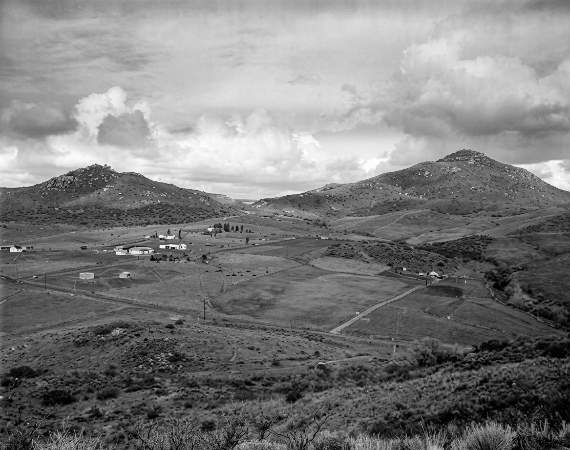
Coastal neighborhoods frequently stay overcast and cool well into the morning, while inland areas — sometimes only a few miles away — warm quickly under clear skies. That sharp divide continues to shape San Diego’s microclimates.
Early coastal communities experienced the same contrast in daily life. Mornings near the ocean often began under low clouds with delayed sunshine, while inland settlements saw earlier clearing and warmer conditions. Short distances could mean moving between two very different weather patterns.
How the marine layer forms
According to the National Weather Service San Diego, a marine layer forms when cool, moist air over the Pacific Ocean moves inland overnight, producing low clouds that often linger along the coast into late morning or longer, depending on atmospheric conditions.
A familiar spring rhythm
Even as San Diego’s climate was promoted for its sunshine, visitors and locals sometimes encountered gray coastal skies that did not always match expectations.
The seasonal pattern has changed little over time. It now carries familiar informal names, but the underlying conditions remain the same.

Mornings often begin overcast along the coast, while inland areas clear more quickly. By afternoon, sunshine frequently returns, restoring the conditions most commonly associated with the region.
Still, for part of each spring day, the coastline can look much as it did more than a century ago — muted under a marine layer that arrives quietly overnight and lifts slowly with the day.
Notable patterns of spring marine layer in San Diego history
Early 1900s — Repeated Morning Cloud Cover
Local weather observations and newspaper reporting continued to note recurring coastal overcast conditions during spring, with inland areas typically clearing earlier than the immediate shoreline.
1998 — Extended Marine Layer Conditions
Regional climate patterns during a strong El Niño cycle were associated with periods of persistent coastal cloud cover and slower-than-normal morning clearing.
2010 — Deeper Marine Layer Development
Cooler coastal air patterns were associated with a more persistent marine layer, contributing to repeated mornings of widespread low clouds along the coast.
2023 — Cooler Ocean Temperatures and Lingering Clouds
Below-average sea surface temperatures were associated with more frequent early May coastal cloud cover and delayed morning clearing along the shoreline.
Read more history stories here; send an email to debbiesklar@cox.net
Sources
The San Diego Union historical archives (late 1800s–early 1900s coastal weather reporting patterns).
National Weather Service San Diego marine layer explanation and regional climate summaries.
National Oceanic and Atmospheric Administration Southern California coastal climate data and marine layer research.


